


Big Sky Dug Through 34 Years of Snow Data to See What El Niño Really Means
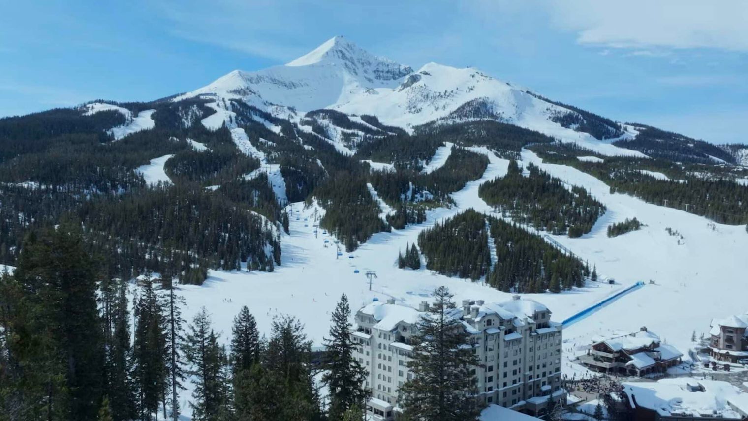
Big Sky Resort analyzed 34 seasons of snowfall data to understand how El Niño affects its conditions amid forecasts of a potentially historic event forming in the Pacific. The analysis reveals the Montana resort's snowfall varies only about 16% year-to-year, suggesting it may be more stable than broad regional El Niño patterns indicate. NOAA projects a greater than 90% chance of a very strong El Niño during fall and winter 2026-27.
Key points
- Big Sky examined three decades of ski patrol snowfall records dating to 1991. The dataset shows annual snowfall totals varying by approximately 16% from season to season at the resort.
- NOAA's historical analysis shows reduced snowfall across the northern Rockies during El Niño winters. The pattern becomes more pronounced during moderate-to-strong events, though regional maps represent broad averages rather than individual ski area predictions.
- Big Sky's data suggests the mountain exhibits relatively steady snowfall patterns year to year. "Our snowfall here generally trends toward average," according to Snow Safety Assistant Director Chelan Babineau-Z.
- The resort receives approximately 400 inches of annual snowfall spread across the entire season. Rather than depending on exceptionally snowy months, precipitation typically distributes from early winter through spring.
- NOAA projects a greater than 90 percent chance of very strong El Niño conditions this winter. The Climate Prediction Center also estimates a 75% probability that October-December 2026-27 will exceed previous El Niño events in their record dating to 1950.
- Regional climate signals represent only one factor determining mountain snowfall outcomes. The resort noted: "Nobody can predict exactly what winter will bring three months out," but local historical data provides insight into Big Sky's typical behavior.
Summarized by MalakyeAI