


A Slew of Storms Could Bring 100-Plus Inches of Snow to Whistler’s Peaks by Mid-November
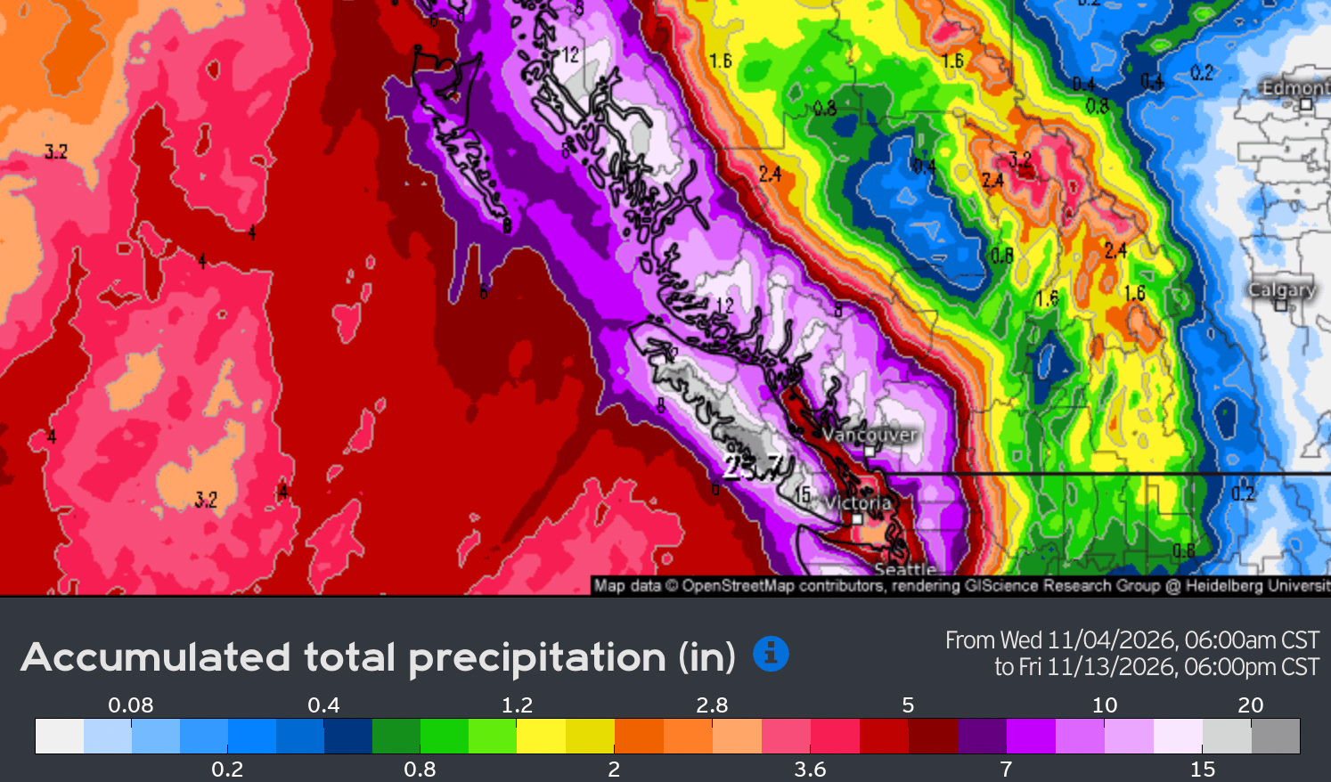
A weather forecast issued in early November 2026 tracks a stretch of atmospheric river storms set to hit Whistler Blackcomb and the wider West Coast through mid-November, with outcomes hinging on shifting freezing levels.
Storm pattern threatens Whistler's early season
- Multiple atmospheric rivers are lining up along the BC coast. They follow an unusually dry October, when Vancouver saw only about a third of its typical rainfall.
- Freezing levels are set to swing sharply. Forecasts show levels climbing near 8,500 feet during warm spells and dropping below 2,000 feet during colder stretches.
- Another major storm is expected around November 12. NOAA warns of a moderate risk of heavy precipitation stretching from Northern California to the Canadian border.
For mountain resorts, these swings in freezing levels will decide whether a lasting base forms in time for opening day or whether rain erases early snowfall.
Summarized by MalakyeAI